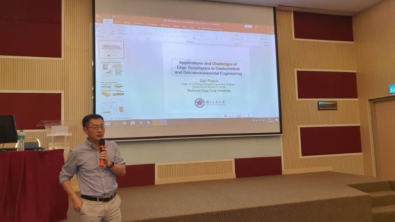
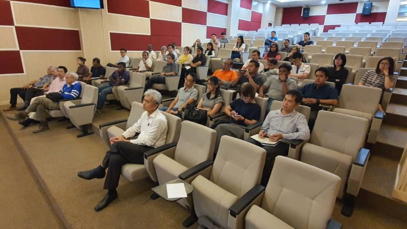
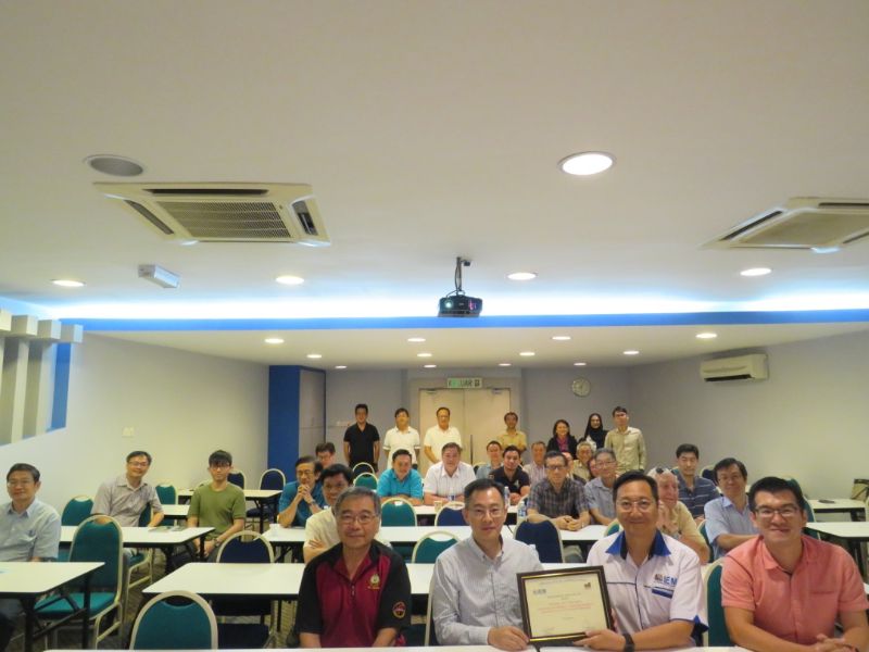
Evening Talk on Applications and Challenges of Engineering Geophysics in Geotechnical and Geo-environmental Engineering
(Supported by the Geotechnical Engineering Technical Division of The Institution of Engineers, Malaysia)
Dr. Chih-Ping Lin is currently a Professor in the Department of Civil Engineering at the National Chiao Tung University (NCTU), Taiwan. He is also a member of the Disaster Prevention and Water Environment Research Center at NCTU. He received his Master of Science in Civil Engineering (1996), Master of Science in Electrical & Computer Engineering (1998), and Ph.D. (1999) degrees from the Purdue University, USA. He joined the faculty of NCTU as an assistant professor in 1999 and was promoted to full professor in 2006. He served as the Chairman of the Department of Civil Engineering at NCTU from 2016 to 2019. His primary research interests are engineering monitoring based on electromagnetic waveguide and developments and applications of near-surface geophysics for solving engineering problems. He has long been involved in the developments of time domain reflectometry, seismic surface wave method, and electrical resistivity tomography. Current research projects focus on solving geotechnical, geo-environmental, and water resources-related problems using geophysical methods, including quality inspection of ground improvement, non-destructive evaluation of dams, subsurface imaging of soil moisture, investigation of soil and groundwater contamination, landslide monitoring, suspended sediment monitoring in rivers and reservoirs, and scour monitoring. He received the ASTM Hogentogler Award in 2008 and served on the board of the Environmental & Engineering Geophysical Society from 2010 to 2013.
Near surface geophysical techniques, such as travel time velocity tomography, electrical resistivity tomography, and multi-station analysis of surface wave, have advanced significantly in the last couple of decades within the scientific community. The lecture introduces the applications of these methods in Taiwan’s geotechnical and geo-environmental problems, including assessment of liquefaction potential, evaluation of dam safety, investigation of soil and ground water contamination, and quality control and assurance of ground improvements. Although successful case studies and innovative applications have strengthened the contribution of geophysics to such issues, several challenges are identified for more common practice of geophysical surveys in engineering applications from an engineer’s perspective. These include the lack of standard in data reduction, non-uniqueness of data inversion, limitations of exploration depth and resolution, field conditions violating model assumptions, and the weak link between geophysical parameters and engineering parameters. Relevant researches and practical countermeasures regarding these issues are further discussed. It is hoped that more rational and wide-spread use of geophysics may be realized through the understanding of the limitations and potential pitfalls of geophysical techniques and researches to overcome them.


